Location Guide: Driving the Kancamagus Highway (Part II)
The Kancamagus Highway (also known as NH Route 112) is a 35 mile long scenic byway that connects Lincoln to Conway in the White Mountains of New Hampshire. This route is famous for stunning mountain views, waterfalls, historic sites, and even camping! Much of the byway runs along the Swift River, which you can enjoy at many of the different stops along the route.
The best trips along the Kancamagus highway for views, and photo-op spots (part II).
The Kanc is such a great idea for elopements and engagements, because you can see a bunch of different spots in a relatively short amount of time. Especially if you happen to be staying at either end of the drive. I would always recommend starting east, so that you end up in Lincoln. There are so many great eats for after your session, and you can drive I-93 back home!
Continuing to work our way west to Lincoln.
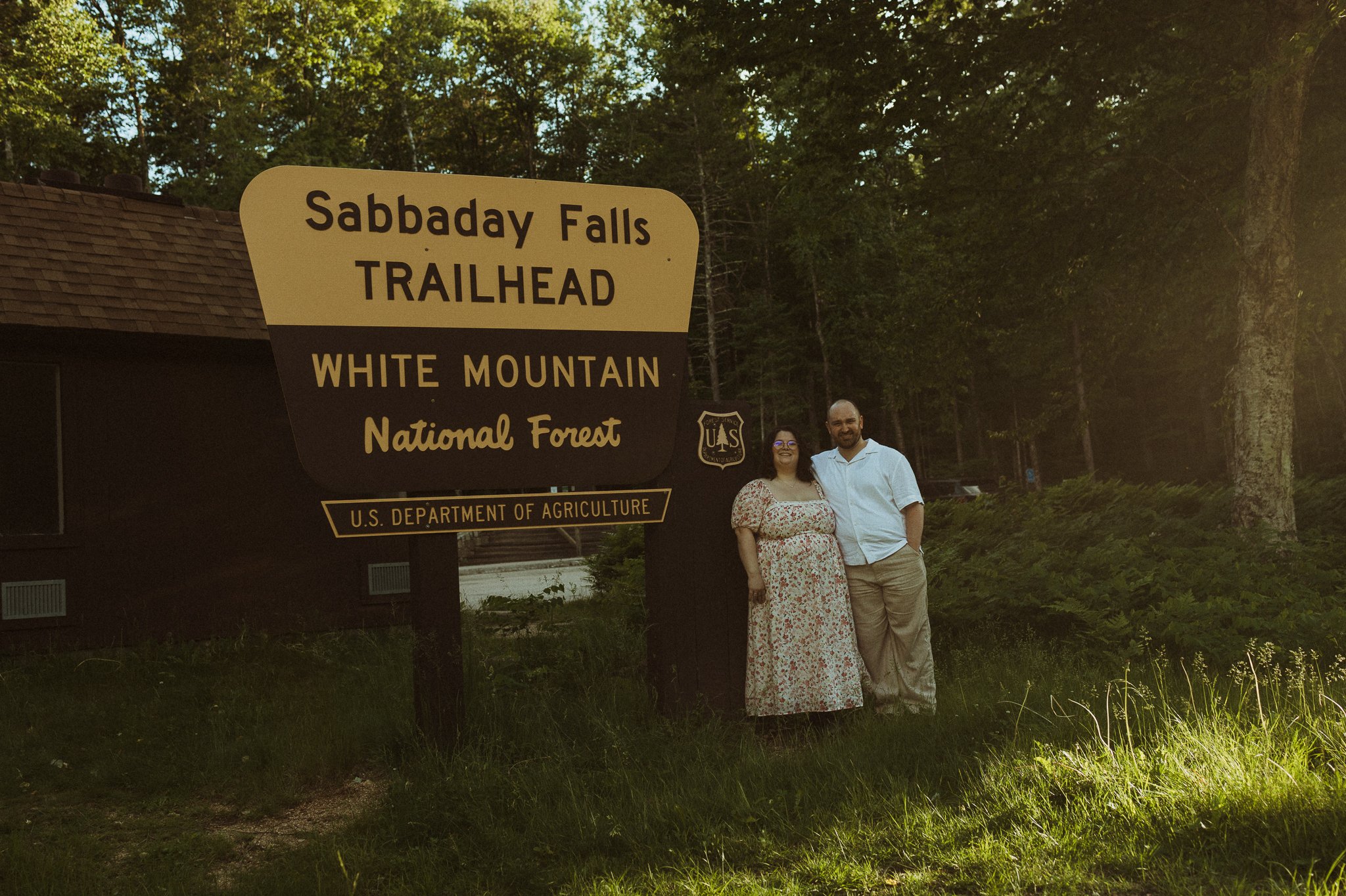
Engagement Session at Sabbaday Falls on the Kancamagus Highway
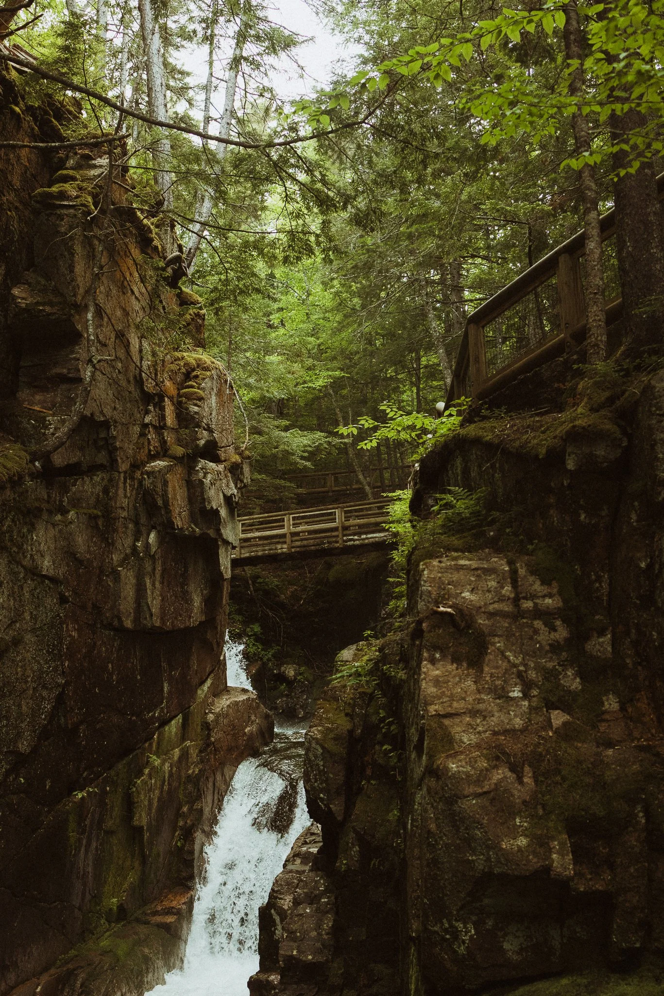
Sabbaday Falls on the Kancamagus Highway
Sabbaday Falls: approximately 15 miles west of Conway NH
The trail connecting the falls to the Kanc was allegedly cut in 1880 by the owner of a nearby hotel. Visitors are able to admire the falls from three different points here.
Accessibility:
0.7 mile out-and-back loop (gentle to moderate uphill on way there)
There are restrooms available for visitor’s use.
Swimming prohibited
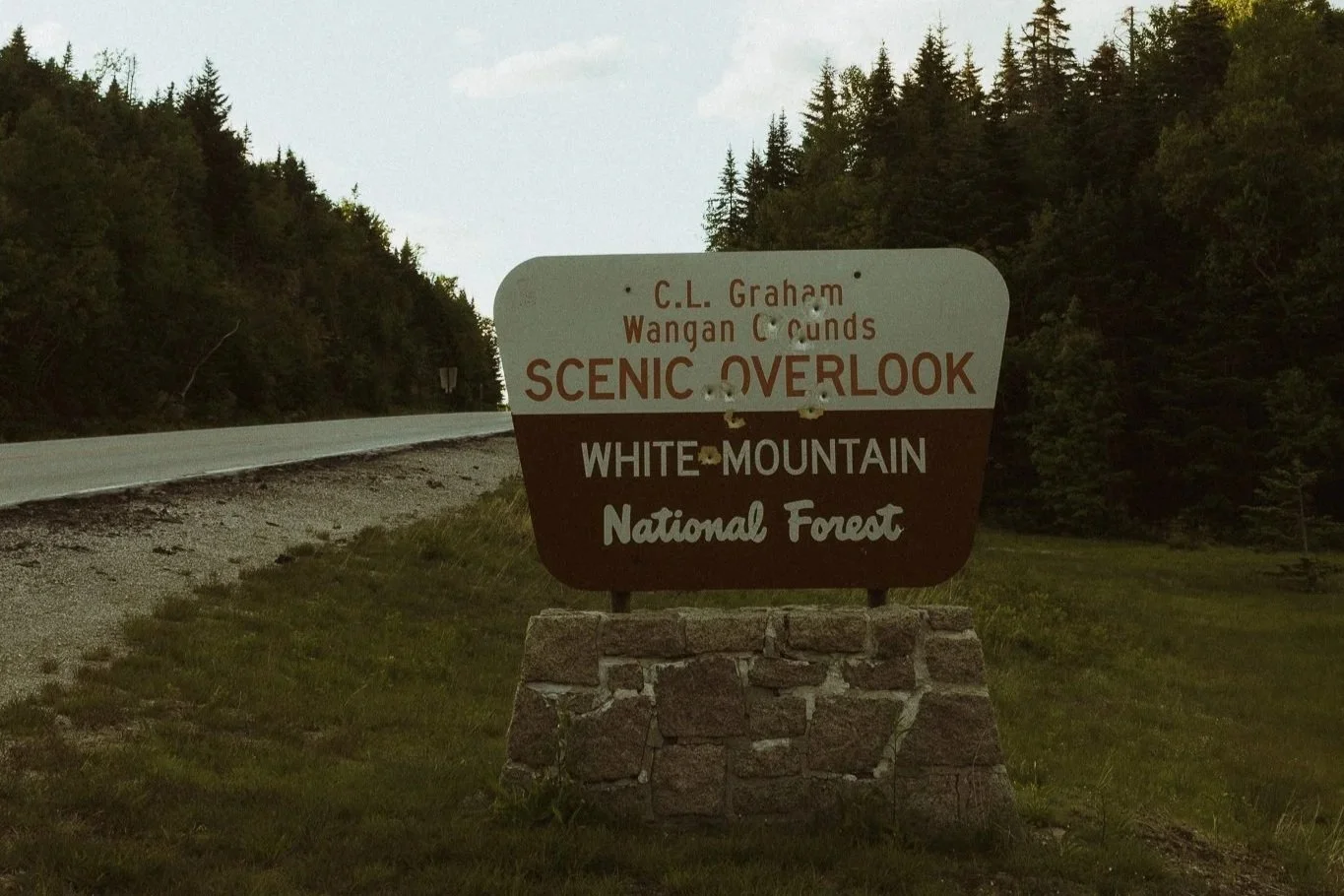
Engagement Session at C.L. Graham Wangan Grounds Scenic Overlook on the Kancamagus Highway
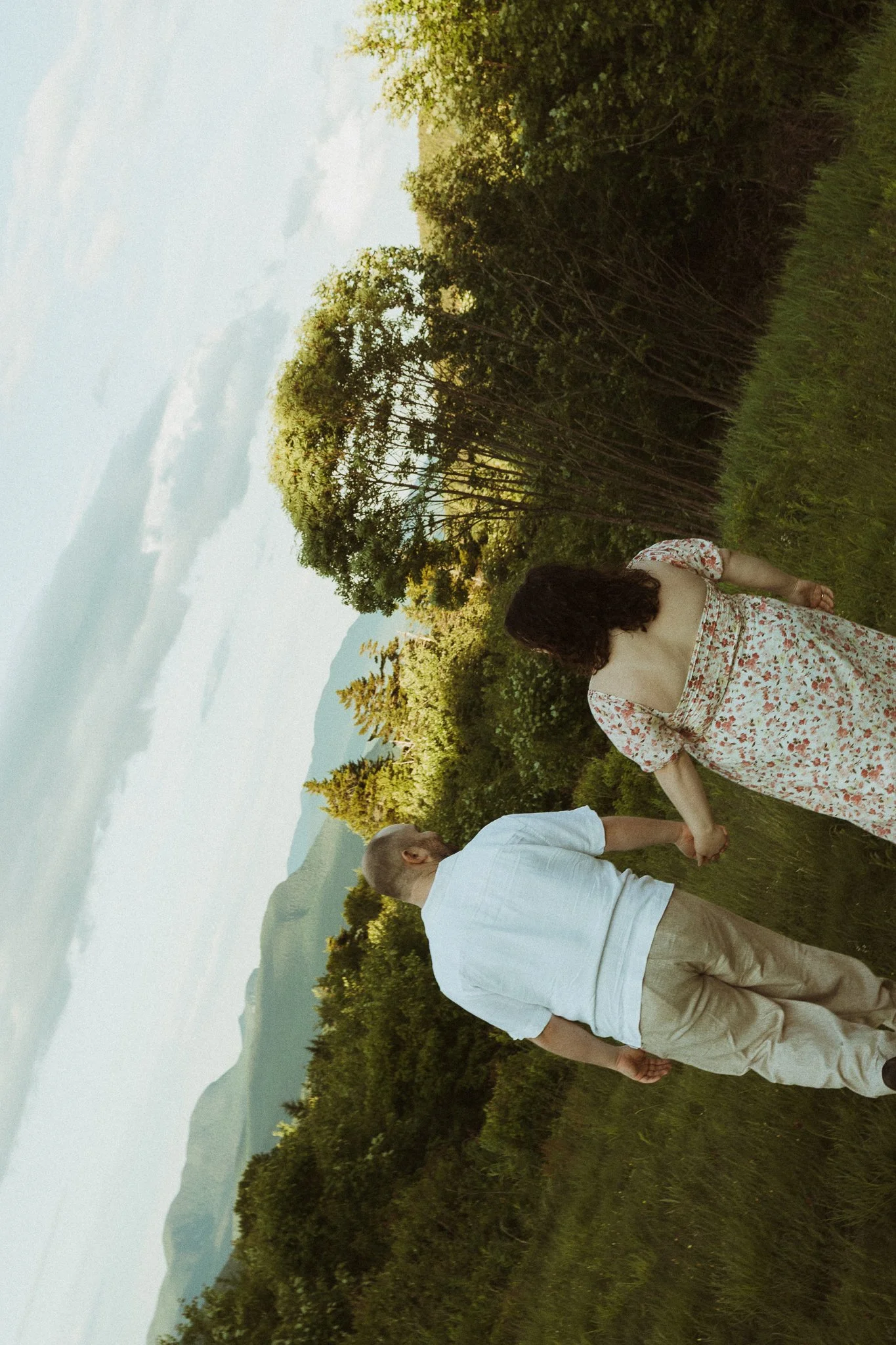
C.L. Graham Overlook: approximately 21 miles west of Conway NH
This area served as a meeting ground for Native Americans long before settlers claimed the area. This area marks one of the highest elevation paved areas of the scenic byway, overlooking the Swift River watershed. Visitors can enjoy stunning views of the mountains in the background, and this place is a sight to see in October for leaf peepers everywhere.
Accessibility:
small paved lot (walled in) with overflow on opposite side of road. small covered area as well
No restrooms
No potable water
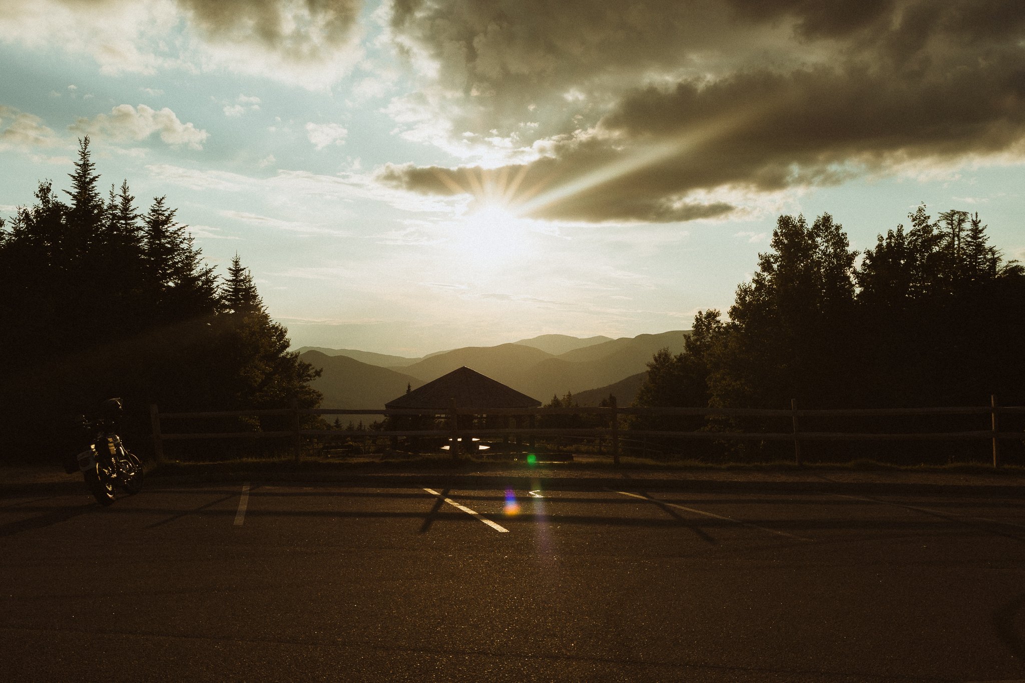
Engagement Session at Pemigewasset Overlook on the Kancamagus Highway
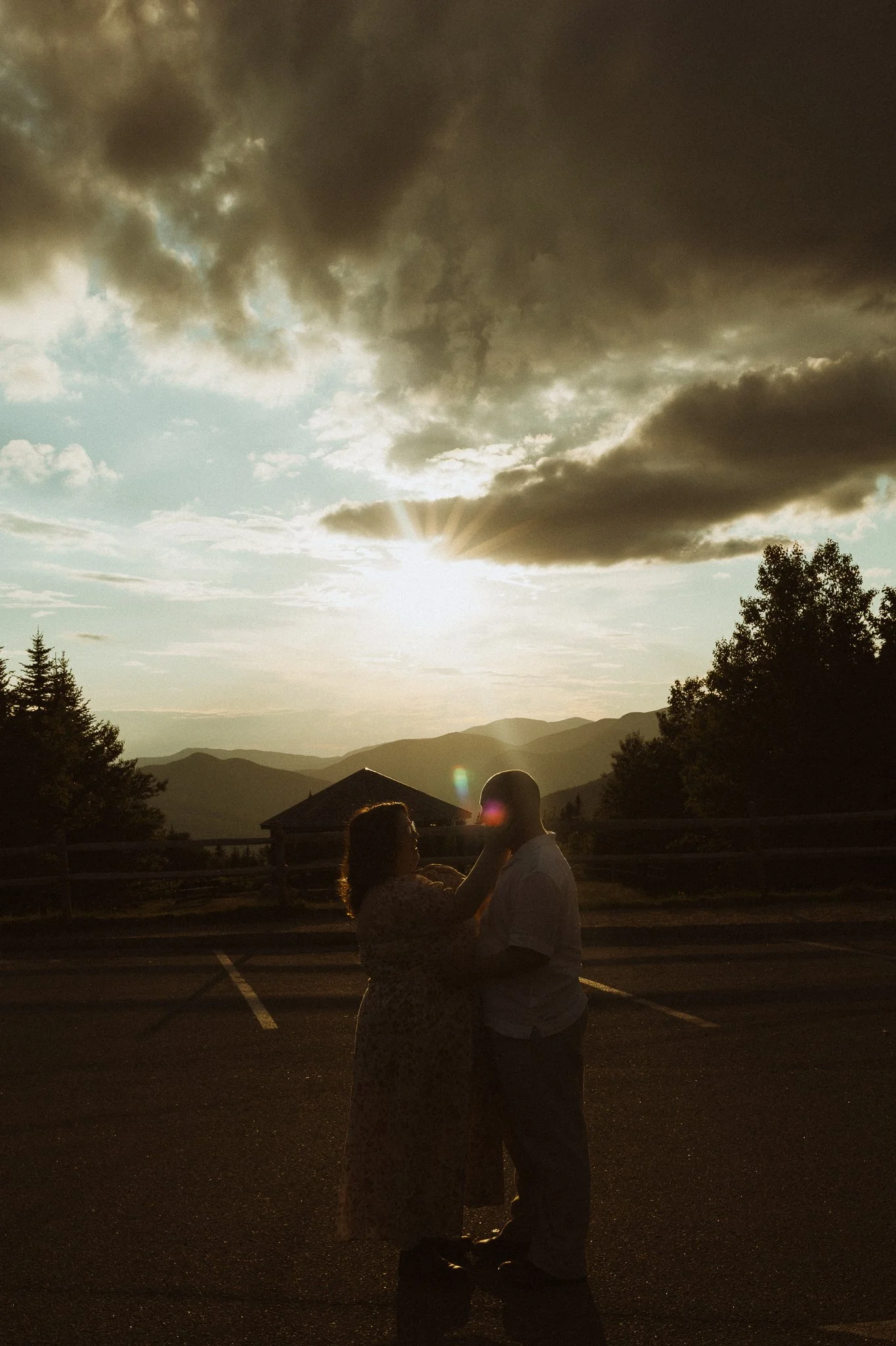
Pemigewassat Overlook: approximately 21.6 miles west of Conway NH
Stunning views of the Osceola mountains to the West at sunset. This spot is one of the highest elevation points on the Kancamagus. On the hill leading down to the pavilion, you can find small wildflowers in the late spring and summer.
Accessibility:
small paved lot leading down to pavilion
There are restrooms available for visitor’s use.
No potable water
Things to Factor:
Drive Time: although it would only take approximately 45 mins to drive straight through with no traffic, you can easily spend 2-6+ hours exploring different stops
Accommodation: there are no restaurants or gas along the byway. You will need to fill up and grab food in either Lincoln or Conway.
Recreation Fee: many of the popular stops charge a recreation fee for visitors. You’ll need to use the self-service kiosks, or check-in with a ranger station prior to visiting.
Please note that visiting on the weekend could forfeit your chance for parking, and parking on the highway itself is strictly prohibited in many places. Not only that, it is nearly impossible to get professional photos on the weekend during peak season.
ALWAYS aim for a weekday visit if you can.
And if you’re tired of trying to figure it all out yourself, you should probably HMU… just saying.